The stormy start to December continues with another system moving up through the East Coast, setting up to bring heavy rain and snow this weekend. As the storm continues to strengthen, forecasters are warning that it could deliver the season’s first nor’easter.
The system is expected to track into the Southeast on Friday, bringing rain and the possibility of thunderstorms. The areas most likely to experience severe weather include southern Georgia, northern Florida, and southern Alabama. Residents of the Florida Panhandle should not be surprised to see an isolated tornado pop up.
The storm will then shift into the mid-Atlantic states. This is when the dropping jet stream will supply the energy for it to really pick up steam and cause damage. At this point, meteorologists are not certain if the position of the jet stream will push the storm out to sea or if it will run parallel up the coast. If the system remains just off the coast, it will set up the possibility of the nor’easter.
If the system intensifies into what forecasters call a bomb cyclone, residents all along the East Coast need to be ready for high winds and widespread power outages. Areas of the Appalachians and the Atlantic coastal regions may see flooding or snowfall, depending on location and elevation. Even if it does not develop into a bomb cyclone, the system will still likely wreak havoc along the Eastern Seaboard throughout the weekend.
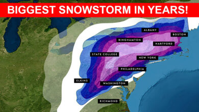
Rainfall Predictions: Rain is expected to drench a large swath of the eastern US, stretching from Virginia up through southern New England. The heaviest rain will fall along the Interstate 95 corridor, soaking the area throughout the day Saturday. The cities in the path of seeing up to three inches of rain include Baltimore, Washington, DC, New York City, Philadelphia, and Boston. Because the rain will fall quickly, forecasters are warning of flash flooding concerns.
Snowfall Forecasts: Cold air moving down from Canada will cause the precipitation to fall as snow as you move farther inland. The areas most likely to see the heaviest snow include the higher elevations of western Massachusetts up through the interior of Maine. Do not be surprised to see now accumulate as far south as the mountainous area of West Virginia.
Northern New England may see up to 12 inches of snowfall by the time the storm has finished dumping. Areas of northern Vermont, western Maine, and New Hampshire may even see more than one foot of snow.
High winds will be another factor associated with this storm. Gust reaching up to 50 mph are not unexpected along the coast of New England.
Clearing on Sunday: The system will move off the coast by the end of the weekend. In its wake, the Northeast will see dry and cold conditions settling in for the beginning of the workweek.
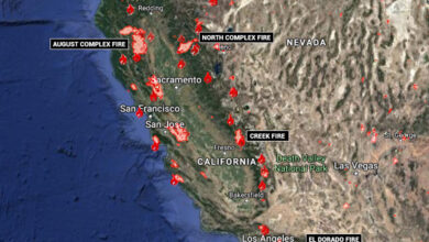
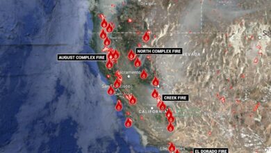
Southern California Put on High Alert for Fires: It may be December, but Califonia is still not out of the woods for fire danger. As of Thursday morning, more than seven million residents of Southern California were placed in the second highest “critical” fire danger category. This is in addition to the National Weather Service’s Storm Prediction Center issuing the very highest level of fire danger warning to parts of the high terrain located just to the east of San Diego.
Because of the anticipated Santa Ana winds whipping up fires, CalFire announced on Wednesday that it was bringing in more resources in the form of helicopters, air tankers, engines, and bulldozers. The winds picked up late Wednesday night, with some gusts reaching up to 80 mph in the mountains of Los Angeles County. Several homes were burned and dozens more evacuated when a brush fire spread rapidly in Rancho San Diego.
In order to minimize the danger, over 90,000 people had their power shut off by Thursday morning. Forecasters predict that the high winds will peak by late day Thursday and begin to taper off through the weekend.
Extreme Weather in Alaska Leaves 6 Missing: Six people are missing after heavy rainfall triggered a landslide in the Alaskan town of Haines. Located approximately 90 miles south of Juneau, Haines was cut off from the surrounding area as a result of the landslide wiping out roadways. For only the second time in history, the National Weather Service issued a flash flood warning, speaking to the rarity of this event.
The landslide was caused by saturated and unstable ground as the region experienced record amounts of rainfall. In addition to the destructive landslide, the region is also seeing widespread flooding and debris flow. While information is still coming in after the Wednesday landslide, authorities say that at least four homes were destroyed. Complicating the search and rescue efforts is the limited daylight during this time of the year, with the region only seeing about seven hours of light.
